Pelagic Insight
Offshore Fishing Intelligence
Satellite ocean data, offshore forecasts, 19,000+ waypoints, and 97 species profiles. Maine to Texas, dock to deep water.
Designed and built by the humans at datamachines.com.
Read the story about how Pelagic Insight was created.
$4.99/mo after free trial · Cancel anytime
📱See the App in Action
Screenshots & features · SST & chlorophyll overlays · Fishing logs · Forecasts
🗺️
Free: Explore 130+ Inlets from Maine to Texas
Interactive map · USACE depth soundings · Tide data · 18 states
Research: Ocean Data, Inlet Surveys & Vision AI
Papers on ocean modeling, hydrographic data, and coordinate verification
Ocean Data
- Sea surface temperature with automatic temp break detection
- Chlorophyll concentration
- Ocean currents
- Wind barbs (GFS 27km)
- Wave height, period, and direction
- Weather radar (NEXRAD)
- Tide curves with sunrise and sunset
Charts & Navigation
- NOAA nautical chart overlay
- Seafloor bathymetry hillshade
- Depth contours
- USACE inlet surveys
- Marine protected areas
- ActiveCaptain fuel stops, hazards, and boat ramps
- Range arc from your departure point
Waypoints & Spots
- 19,000+ reefs, wrecks, and live bottom waypoints
- Custom waypoints with tags
- Garmin MFD waypoint sharing
- Share waypoints with friends
Forecasts & Conditions
- Weather and sea conditions forecast for any location
- Ride quality assessment
- Live buoy conditions
- NWS marine forecast
Fishing Tools
- Species targeting heatmaps
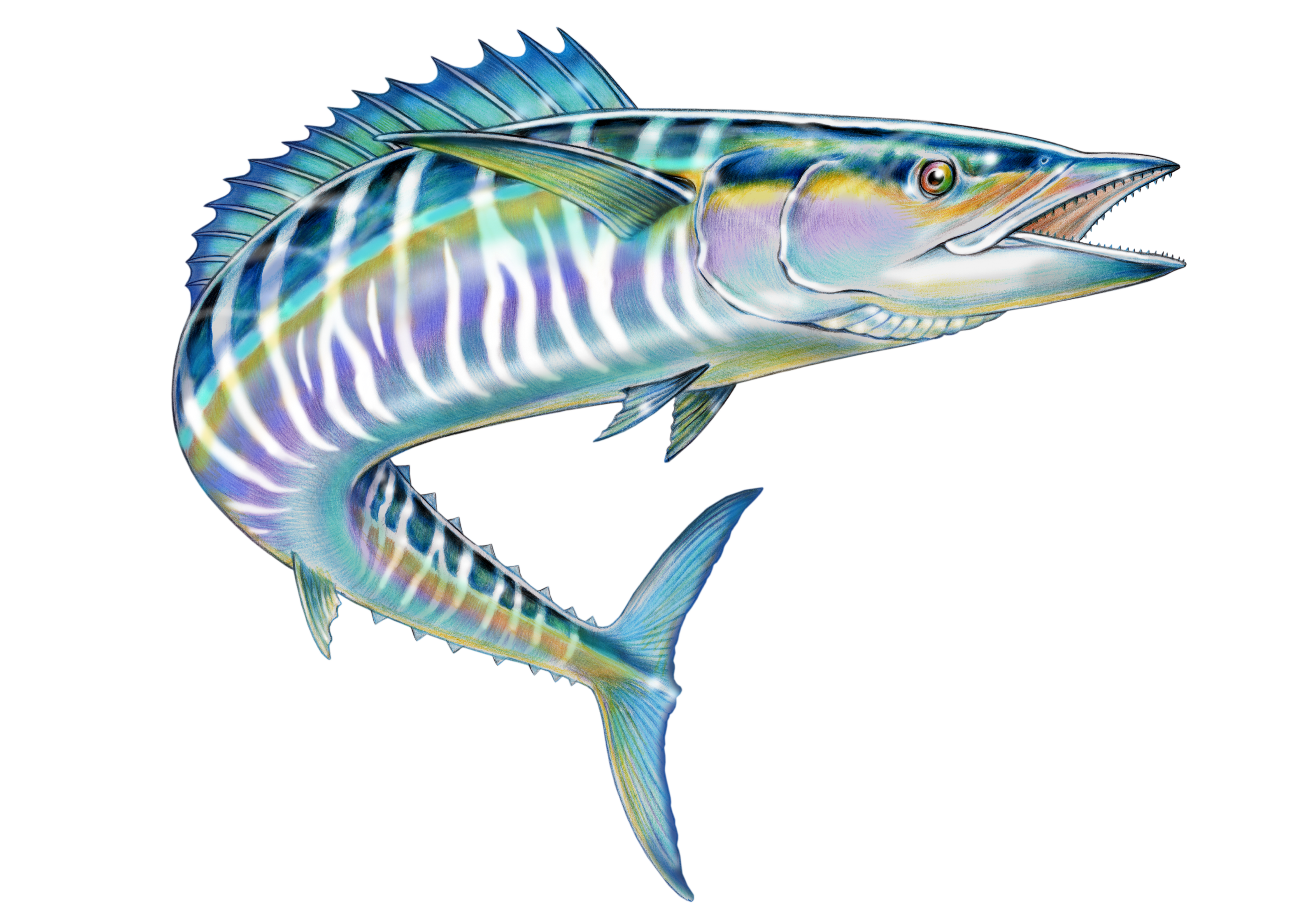
- Fish ID for 97 offshore species
- Fishing logbook with auto-filled conditions
- Intel reports
- GPS trip tracking
- Data export
Reference
- State and federal fishing regulations
- Catch reporting requirements and deadlines
- VHF channel guide by inlet
Coverage
- 130+ inlets, Maine to Texas
- Full offline mode for open ocean
Simple Pricing
$4.99/mo
Full access to all features. Cancel anytime.
- ✓ All ocean data layers (SST, chlorophyll, currents, wind, waves, radar)
- ✓ 19,000+ waypoints with shipwreck histories
- ✓ Weather and sea conditions forecast for any location
- ✓ Species targeting heatmaps (97 species)
- ✓ NOAA nautical charts, bathymetry, and inlet surveys
- ✓ Offline mode for open ocean
- ✓ GPS trip tracking and fishing logbook
- ✓ Custom waypoints with Garmin MFD sharing
- ✓ Fishing regulations and catch reporting